qathet Regional District’s (qRD) board will consider accepting the Savary Island slope hazard study final report prepared by Tetra Tech Canada.
At the November 1 regional district planning committee meeting, directors heard from Tetra Tech engineer Jeff Redwood, who outlined the study that had been conducted into slope hazards on Savary island.
qRD manager of planning services Laura Roddan said the Savary Island slope hazard study was completed for the regional district by Tetra Tech and was in response to a recommended action in the 2022 regional district coastal flood adaptation strategy that called for an update to the 20-year-old Savary Island dune and shoreline study, with consideration for climate change and coastal flooding projections.
“The study provides critical background information for the coming Savary Island official community plan (OCP) review and update process,” said Roddan. “The study also has important findings for other qathet Regional District departments, including asset management, operations and emergency preparedness.
“Map data from the study will be uploaded to qathet Regional District’s geographic information system and it will enable staff to overlay the data with other map data to support landscape analysis and the development of mapping for the island OCP. The recommended slope hazard setbacks from the study will be explored with Savary Island property owners through the community engagement process next year, along with policy and regulatory options to reduce risks associated with coastal flooding and erosion, and also to increase the resiliency of coastal properties.”
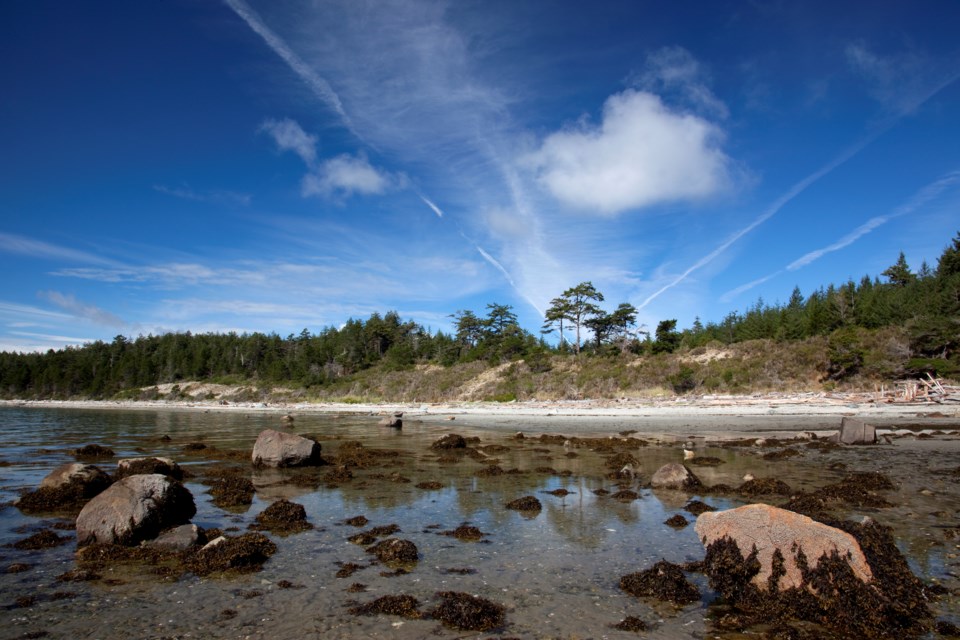
Redwood said the scope of the study included developing criteria for evaluating the location of potential hazardous slopes on Savary Island, plus delineating potentially hazardous slopes and providing recommended setback and clearance areas from these slopes.
“The slopes that were looked at were along the shoreline, plus some slopes that were inland as well,” said Redwood. “A map was prepared showing these areas.”
Electoral Area A director and committee chair Jason Lennox said Savary Island is in the area he represents; he asked if a motion was required to include the study in future planning for the island. Roddan said a motion wasn’t necessary.
The committee unanimously recommended sending the study to the regional board for acceptance.
Join the Peak's email list for the top headlines right in your inbox Monday to Friday.


