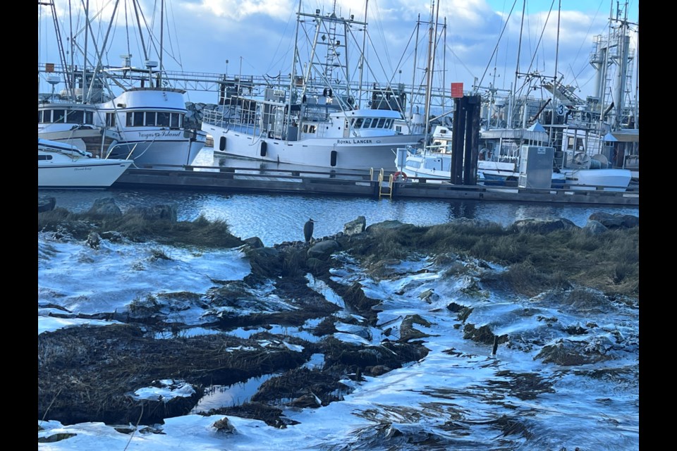
Currently the temperature in the qathet region is at a cool minus eight degrees Celsius (C), however with the windchill the air feels more like minus 15 C.
Wind chill
On the west coast of BC, the windchill makes a big difference to how people feel the cold when outdoors. Environment and Climate Change Canada sent out a cold weather warning alert for qathet last night (January 10).
Environment Canada weather alert
“Starting January 11, a wave of abnormally cold weather will affect western Canada. Temperatures are expected to drop significantly, ranging from 15 to 25 degrees below normal. Between January 12 and 14, several locations might set new cold temperature records, surpassing the previous ones by 3 to 5 degrees,” the Environment Canada alert stated.
El Niño still here
December saw above-normal temperatures with an El Niño weather system forecast to last until March 2024. Derek Lee, a meteorologist with the Meteorological Service of Canada, said El Niño is still around and brings warmer than normal temperatures for BC in the winter.
"However, it does not guarantee that every day will be warmer than normal,” said Lee in an email to the Peak. “We can still have arctic air episodes but averaged out and if we zoomed out and looked at the whole winter season as a whole, temperature statistics will often be warmer than normal.
"El Niño will continue till March 2024. It is an overall phenomenon for this winter and not just a weather event lasting a few days or weeks."
Lee said that the snow threat for this weekend remains near zero for the Sunshine Coast.
Snow in the forecast
However, Environment and Climate Change Canada does show snow is forecast for next week.
"Often with cold air coming out of the mainland inlets along the Sunshine Coast, it reacts with the warm water along the Strait of Georgia and can bring heavy snow bands onto the East Vancouver Island side upon arrival of the cold air," said Lee. "The Sunshine Coast is luckily on the opposite side of these snow bands. In order to see snow once again in the area, we will need moisture coming back from the Pacific and that isn’t likely to occur until next week, or Tuesday onwards."
He added that the cold temperatures lingering are favourable for snowfall conditions.
"When we are in the middle of the cold, now into the weekend, it’s usually mainly clear skies in the forecast as arctic air itself is dry," added Lee.
Advice for freezing temperatures
Being dressed for cold conditions is a must for heading outdoors in temperatures well below zero, gloves and good boots may be needed to avoid frostbite.
"My advice for this weekend is to make sure you are well dressed if you are going to be outdoors as wind chill can make things feel much colder," said Lee. "A 10- to 15-kilometre wind, which usually would be considered light, can make temperatures feel much colder. Be careful of slippery conditions from any ice patches."
Another good tidbit of advice is to check pipes in your home regularly to ensure they are not frozen.
"Keep your eye out on the forecast early next week as we can see some cold weather related phenomena like snow, local freezing rain which can definitely cause roads to be slippery," warned Lee.
Below zero happens every year
Although the cold temperatures may seem unusual for the qathet region, in reality Lee said, "we get cold temperatures occurring every winter, once or twice a season we will see cold arctic air dominating through the province.
"The magnitude of the cold will vary every time and this event particularly, we are seeing cold temperatures of five to 10 degrees below average for all of the South Coast."
Not the coldest year
But Lee said it's not the coldest ever on record though.
"The November to December period of 2022 was a much longer-lasting colder than this event leading to more snow as well," emphasized Lee.
Sudden drop
Environment Canada stated that the sudden change in the temperature is a drop of 20 degrees compared to December temperatures: “Between January 11 and January 15, the usual temperatures in Canada will be completely reversed: Compared to normal, temperatures will be 25 to 30 degrees colder than normal in southwestern Canada and 15 to 20 degrees warmer than normal in northeastern Canada."
Weekend forecast
The weekend will be sunny with a mix of clouds with temperature highs of minus eight degrees C, with a low of minus 11 degrees. The area will feel a windchill between minus 16 and 17 degrees C, and winds of 15 kilometres an hour, according to Environment Canada.
Forecast for qathet region: weather.gc.ca/city/pages/bc-58_metric_e.html.
The Peak's Weatherhood page has localized hourly updates and Weatherhood can be found as an app on mobile devices.
Join the Peak’s email list for the top headlines right in your inbox Monday to Friday.


