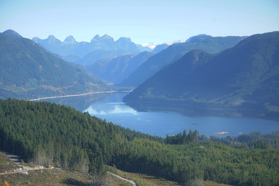
qathet Regional District directors were provided an overview of forestry operations within the region.
At the April 12 planning committee meeting, Shawn Tougas, BC Timber Sales (BCTS) planning forester from the Powell River office, appeared before the committee to outline the BCTS Sunshine Coast 2022 to 2026 operating plan. He said the Sunshine Coast is part of the broader Chinook business area and the local office works with teams out of Squamish, Chilliwack and Haida Gwaii.
Tougas said there have been various studies conducted by the regional district and BCTS has been going through them, making sure they are in line with broader plans, such as the regional trail plan.
He showed directors slides of where BCTS has cut blocks planned in qRD. He said there were cut blocks planned in the Malaspina Peninsula area and Theodosia Inlet, which is an important area for Tla’amin Nation. Further north, there is Homfray Channel and Toba Inlet.
Tougas said there are a few smaller parcels in the City of Powell River vicinity and south of town. There are areas around Dodd and Horseshoe lakes, surrounded by the tree farm licence held by Western Forest Products, he added. There are also blocks in the vicinity of Lois Lake.
Electoral Area D director Sandy McCormick said she is a little concerned when looking at the maps, provided online by Tougas, that go right down to the water.
“Visual objectives were on your list of things under stewardship and engagement,” said McCormick. “I’m wondering if there is going to be a buffer along the water or if you are going to cut right down to the water, where the visual quality would be significantly diminished.”
Tougas said quality objectives are met and generally exceeded.
“Depending on where you are, there are various levels of visual objectives that are the targets that we manage for from the perspective of the ground and public viewpoints,” added Tougas. “It does depend on the area, but I can say there are buffers that are put in place. Consideration is made on every block where there is an objective and there generally are objectives for most of our blocks in these areas and anywhere that would be a significant public viewpoint.
“In our areas of higher significance, we’ll plan to make the blocks not visible or fit into the natural landscape. There’s certainly a science that goes behind that so it fits into the natural character of the area.”
McCormick said when she looks at the maps and it looks like the cut goes all the way down to the water, “to be honest, that would be really ugly if that was the case.”
“Can you give us an assurance that there will be a buffer along the ocean?” asked McCormick.
Tougas said BCTS manages to the standard that is on the land base. There is an engagement process with the public, stakeholders and First Nations, and when new objectives come out, those are the objectives they manage, he added.
“It’s certainly something that is part of our planning process and generally that means we wouldn’t go down to the water,” said Tougas. “I wouldn’t see many examples where it would be a bald face on a mountain going right down to the ocean. It’s definitely an asset we consider in our planning.”
Electoral Area A director and regional board chair Patrick Brabazon asked if the cut blocks have a maximum allowable size.
Tougas said the provincial standard on the coast is 40 hectares and in the Interior it is 60. He said it’s generally closer to 10 to 20 hectares.
“It depends on the area and the other values that are being considered,” added Tougas.
Brabazon then asked if there were any restrictions on log exports.
“Generally speaking, our operations are more local, smaller business operators and smaller mills,” said Tougas. “Sometimes there are larger companies that bid on the blocks and it’s up to them where they process those logs.”


