The Weatherhood app is forecasting high winds, inland, up to 19 kilometres an hour, overnight Friday, October 25, and continuing into early morning on Saturday, October 26, for the qathet region. There is a 93 per cent chance of rain tonight and into tomorrow.
The special weather statement issued by Environment and Climate Change Canada (ECCC) is in effect for: Sunshine Coast; Saltery Bay (sḵelhp) to Powell River.
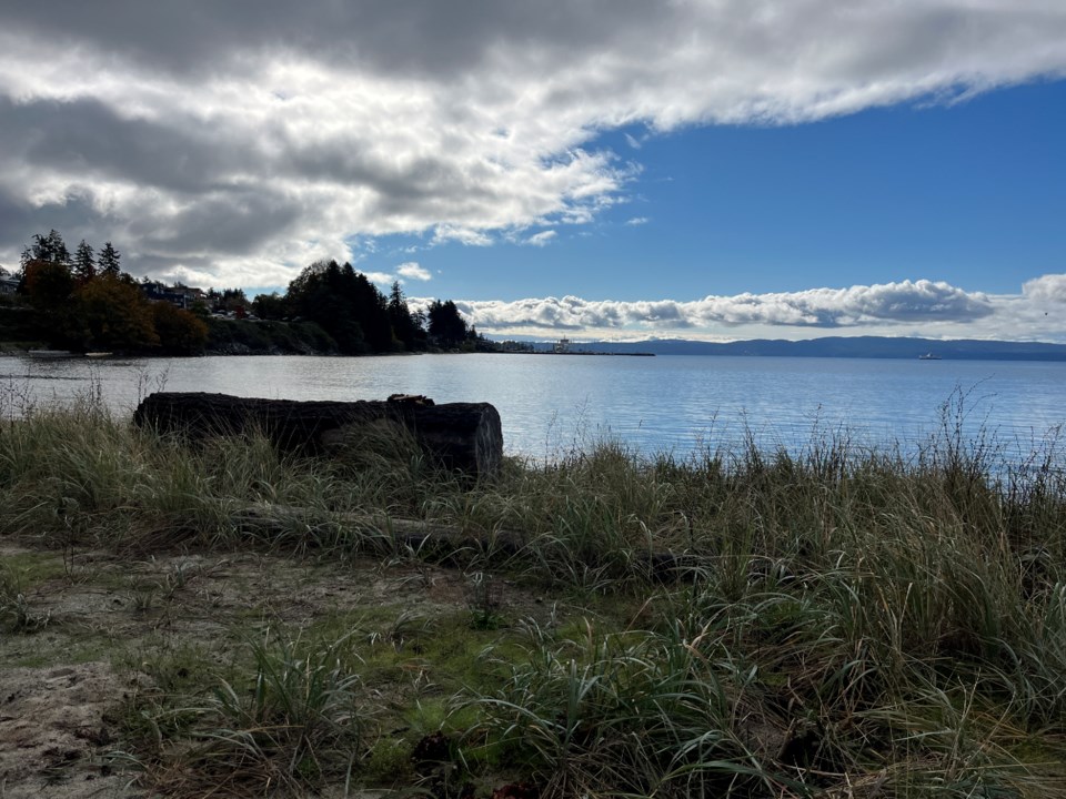
Strong southeast winds are predicted overnight to early Saturday morning.
Hazards: High winds may cause tree branches to break. Power outages are possible.
"A Pacific frontal system will begin to push onto the south coast this evening and strong southeast winds of near 60 gusting to 80 kilometres an hour will develop after midnight near the Strait of Georgia," stated the ECCC special weather statement. "Winds will ease early Saturday morning."
There have been no service notices issued by BC Ferries as of yet.
To report severe weather, send an email to [email protected].
Join the Peak’s email list for the top headlines right in your inbox Monday to Friday.


