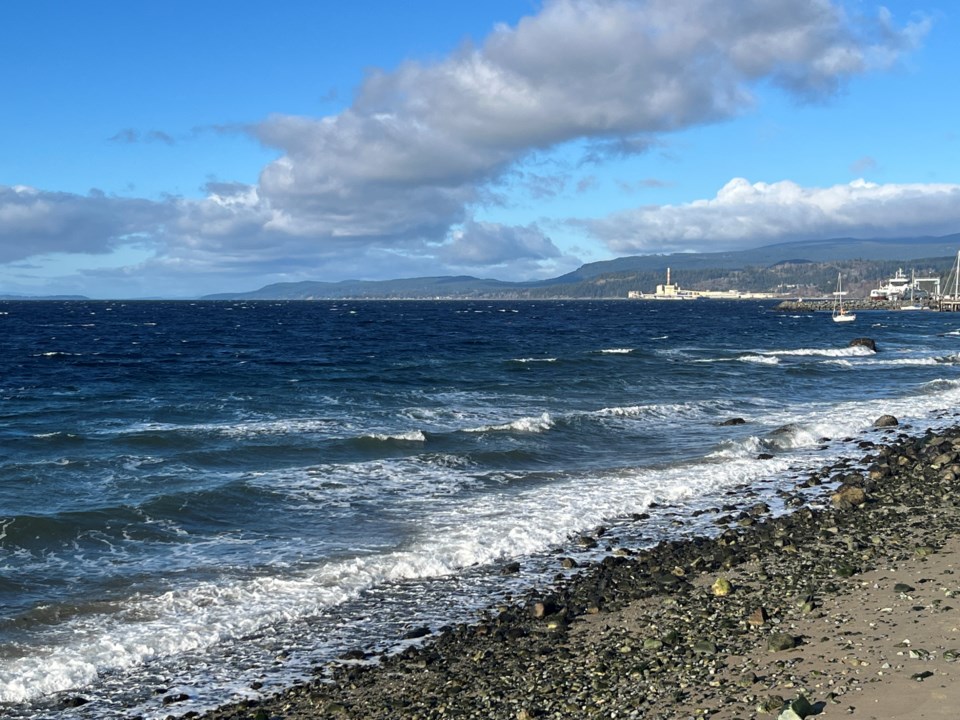
The king tide storm surge of January 2022 was dramatic and took out some of the Westview sea walk, which has since been repaired.
Although the qathet region is being bestowed with 16-foot high tides in the mornings this week, the same storm surge the region saw three years ago is not predicted.
King tides on the Sunshine Coast are usually expected in mid-January and are extreme high tides that happen when the sun, moon and Earth are aligned. The winter season can be the most dramatic, causing flooding and structural damage to park trails and city streets.
The Weatherhood station above the Peak office off Marine Avenue indicates that the winds picked up around 1 pm today, to gusts of up to 15 kilometres an hour, and will continue into the evening. By tomorrow, January 17, the winds will calm down to 6.2 kilometres an hour.
Today, Thursday, January 16, the average daytime temperature is six degrees Celsius, cooling off this evening to zero degrees.
Early Friday morning will be a chilly minus-two degrees, warming up to four degrees by noon. Saturday and Sunday, the daytime temperature will be three degrees in the daytime, cooling off to one degree by evening. No snow or rain is forecast for the weekend.
Join the Peak’s email list for the top headlines right in your inbox Monday to Friday.


