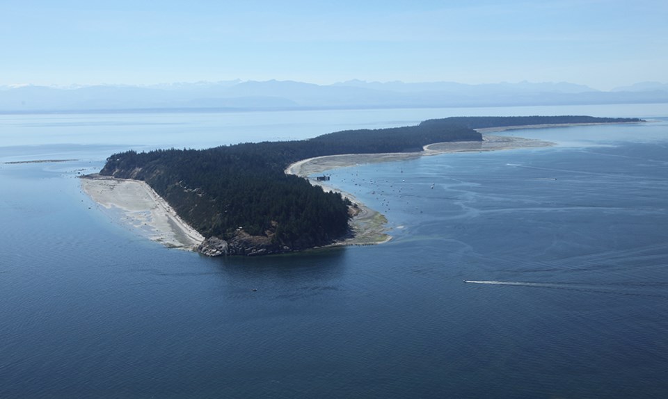
As a part of the ongoing coastal flood mapping project for the qathet Regional District, a survey team will be conducting fieldwork on Hernando, Savary, Harwood, Texada and Lasqueti islands beginning in April.
According to a media release, a team of scientists will be conducting fieldwork to assess the impact of potential coastal hazards. In addition to the team on foot, a mapping vessel will also be moving along the shoreline in certain areas, the release stated. The fieldwork requires on-site geological assessments. In order to evaluate these areas, access to the external areas of resident’s properties and yard spaces may be required, according to the media release.
“Flood maps help to identify the boundaries of potential flood events in order to keep the public safe and protect infrastructure and the environment,” stated manager of emergency services Ryan Thoms. “Residents are welcome to discuss any observations relating to the project with the on-site coastal geologist when field work is being conducted.”
The coastal flood-mapping project will assist in mitigating and adapting to climate change, improve the community’s resilience, and help to ensure proactive emergency preparedness, the release stated.


