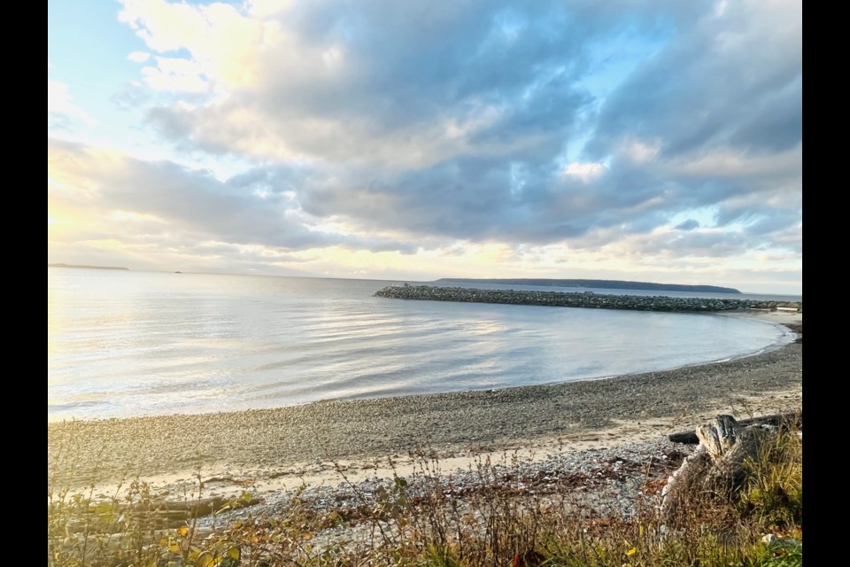
No two El Niño events are the same, according to the World Meteorological Organization (WMO). Meaning that, although a warm weather trend (El Niño) began in BC, including the qathet region, in November 2023, and is predicted to last until spring 2024, what comes with that trend is unpredictable.
National Ocean Service (NOAA) states that: “During normal conditions in the Pacific ocean, trade winds blow west along the equator, taking warm water from South America towards Asia. To replace that warm water, cold water rises from the depths; El Niño breaks this normal condition.”
Scientists say El Niño can have global impacts on weather, wildfires, ecosystems and economies. This Southern Oscillation cycle developed rapidly in July and August and became moderately strong by September, and was expected to reach its peak from November 2023 to January 2024.
Environment and Climate Change Canada meteorologist Derek Lee spoke with the Peak about the winter warming trend.
“The warmer and wetter than usual weather trend is caused by the equatorial water along the Pacific being warmer than normal,” said Lee. “It has a global kind of ripple [effect] and in terms of how the weather changes for BC, especially in the wintertime, and right now, El Niño is occurring with a probability of near 100 per cent until March of 2024.”
Lee said that after March of next year, from April to June, there is only a 62 per cent chance of the warming trend continuing.
“What I can say for people living around your area [qathet] of BC, generally, especially in the winter period, where we expect the coldest temperatures, we may see an above normal trend,” added Lee. “Snow falling may be a little bit lower, just because what’s falling on the mountains may just be rain because it’s warmer overall.”
Lee said having less snowpack at higher terrain can have a cascading effect leading into spring and summer. Not having that snowmelt may impact water reservoir replenishment, stream levels that could impact migrating fish, and could cause drought conditions and floods.
“It’s tricky [to predict weather] for the Northern Sunshine Coast in general, because it is a little bit wetter, and if you look across to Eastern Vancouver Island, it has its own little pattern,” he added.
El Niño happens every two to seven years and usually lasts nine to 12 months. According to the NOAA: “El Niño also has a strong effect on marine life off the Pacific coast because deep water nutrients stop coming to the surface. Without the nutrients from the deep, it impacts fish that eat phytoplankton and, in turn, affects everything that eats fish."
Although this may seem alarming, it’s not abnormal.
Lee said El Niño is separate from climate.
“Climate is a study of a changing climate,” he added, “not just within say 10 years, but 100 years, or more than that.”
WMO states that record-high land and ocean temperatures since June 2023 indicate that this year is on track to be the warmest ever recorded. Unprecedented land and sea-surface temperatures in recent months underscore the potential for natural climate variability, such as El Niño conditions, to intensify human-induced warming.
Join the Peak’s email list for the top headlines right in your inbox Monday to Friday.


