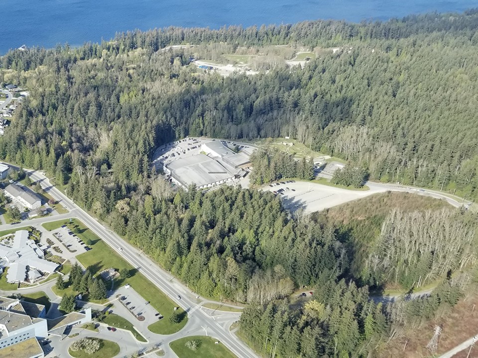
City of Powell River Council has approved a grant application, which, if approved, will result in construction of a multi-use path between Brooks Secondary School and Powell River Recreation Complex.
On April 21, councillors reviewed the proposal, which would be made under Infrastructure Canada’s active transportation fund.
Councillor Jim Palm said the grant had been researched by city sustainability planner Ana Lukyanova, who rises to the occasion when funding is available. Palm also said the city’s $300,000 portion of the $750,000 project is being allocated from Powell River Community Forest.
“We reach out to them on numerous occasions for matching funds,” said Palm.
Councillor CaroleAnn Leishman said she wanted to thank staff for all the work done getting to the point of the grant application.
“I want to acknowledge all of the work that has been done on active transportation and the input from youth council and other community groups supporting the creation of this idea of a mid-level connector,” said Leishman. “It’s a great way and a cost-effective way of connecting our community with Townsite. The climate change mitigation and adaptation committee really supports this grant application as well, so this would help us make connections between our neighbourhoods much more viable. I hope we are successful.”
According to a report from Lukyanova, the federal grant covers 60 per cent of the cost of municipal active transportation projects. She stated that the fund supports projects that improve active transportation connectivity, enables non-automotive mobility, and creates safe and secure environments for all users.
The mid-level connector multi-use path has been identified in the city’s sustainable official community plan since 2014. Lukyanova added that recent public engagement conducted as part of the parks and trails master plan and bicycle network strategy confirmed the community’s need for this active transportation corridor.
“The lack of safe and comfortable cycling and walking connection between Westview and Townsite has been identified as a major barrier to active travel between Brooks students and the public,” stated Lukyanova.
For the first phase of this project, a three-metre-wide crush surface path would be constructed. The path starts at the existing recreation complex loop and follows the edge of the city property line along the power line. It then utilizes the existing sewer pipe service road, which would be resurfaced to a multi-use path standard.


.jpg;w=120;h=80;mode=crop)