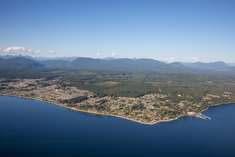
City of Powell River councillors have adopted the qathet Regional Coastal Flood Adaptation Strategy overview and technical report.
At a March 2 meeting, councillors voted unanimously in favour of the strategy, prepared by Ebbwater Consulting.
City councillor George Doubt said what was being voted on was an in-depth study of sea level rise on coastlines in qathet Regional District.
“It involved very careful mapping of the coastline, getting the elevations of all of the beaches and various infrastructure that is there,” said Doubt. “For example, there are the north and south marinas in the tidal zone and the shoreline where they could be affected.
“It looked at the projections for sea level rise over the next 50 years. There is an interesting situation, because sea levels are projected to rise all over the world, but the special place we are in here, where we live in this territory, is that the land is rising as well, so our sea level rise will be a little bit different than other places in the world because the rocks are getting higher as well.”
Doubt said a number of maps, plans and studies were in the report, and some suggestions about what might be done in the future by the municipality, including development permit areas being set up close to the water to protect homes and give people better planning. For the moment, all the maps are available on the regional district website, according to Doubt.
“Anyone who owns property close to the water can look at what sea level rise might do to the property they are in and think about how to adapt in the future,” said Doubt. “It’s a very good study. It came out of a considerable amount of public engagement. I participated, along with some others on council.”
Councillor Cindy Elliott said council has been following the study as it has been developed and she is encouraging everyone to look at it because, depending on where people live, it has advice for various areas.
“One of the strategies is to enable private landowners to help shore their own stuff up,” said Elliott. “Knowledge is one way to enable people so, in preparation for the future, people should make themselves aware of how their properties might be impacted by rising oceans, and there are some that will be, so being prepared and thinking ahead can help people mitigate all those risks.”
Councillor Trina Isakson said the report talked about rising ocean levels, and in addition to that, the impact of high tides and storms was outlined, highlighting what is likely on an annual basis versus what is likely every 40 years, or 100 years.
“I encourage people who live near the water, especially in Grief Point, to take a look at the report, because it does outline what could be expected and what recommendations might come out of it,” said Isakson. “We will see this as we move forward with policies in the official community planning process, considering some of this important information in our planning.”


.jpg;w=120;h=80;mode=crop)